- About Us
- Admissions
- Departments
- Infrastructure
- Academics
- Achievements
- Publications
- IQAC
- NAAC
- NIRF
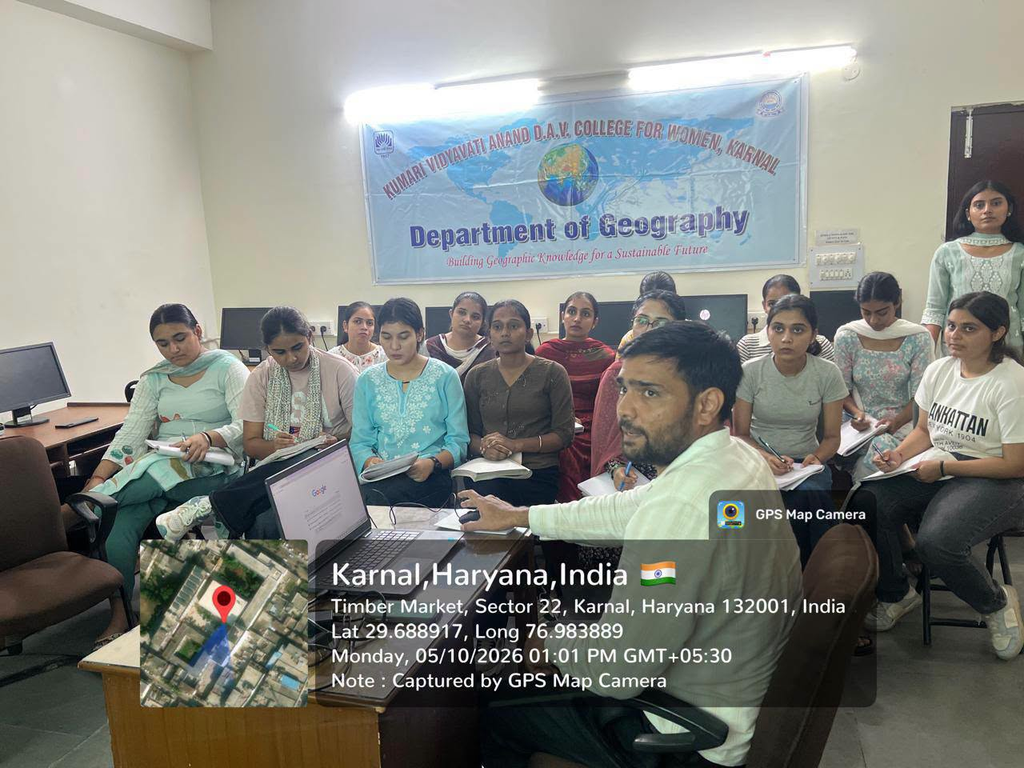
The workshop provided students with hands-on exposure to satellite image processing, image enhancement, classification, change detection, GPS, and mobile mapping techniques. Dr. Gulab Singh, Assistant Professor, Department of Geography, CDLU, Sirsa, served as the resource person and conducted engaging practical sessions using QGIS software, along with demonstrations of GPS-based data collection and mobile mapping for field-based spatial analysis.